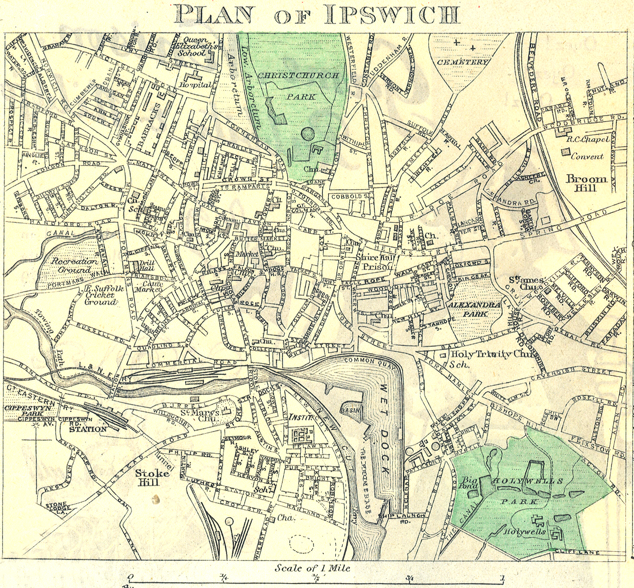
Town and city maps are a graphic representation of an urban district which allows the user to orient themselves by the means of streets and other landmarks depicted in a simplified visual form. The average town and city map will include not only the settlement’s roads and other transport networks, but also other important information – for example sights, attractions, public parks and institutions. Many will include landmarks such as churches, schools, sports fields, castles, public houses, smithies, mills, factories etc.
Maps can be presented as a sheet, folded or otherwise, or in a street atlas book. One of the first city pocket atlases, and the first pocket atlas of London, was published in 1854 as the Collins’ Illustrated Atlas of London. It was drawn and engraved by Richard Jarman the artist, map-maker and engraver whose body of work focused London until 1857, when he emigrated to Tasmania; he then focused on that part of the world until the 1870s.
Town maps can be found in a great number of archives, repositories and libraries – national, regional and local as well as those digitised and made available online. The variety of styles can reflect the fact that cities and towns have been mapped for centuries and so range from those drawn to a precise scale to older ones that are more representative than accurate, with features not to scale and even out of place, if it was more aesthetically pleasing to the cartographer.
Historical maps of conurbations can be used to locate where our ancestors lived at a particular point in time. Finding a correct historical address will then help researchers to go on and find information about their forebears and by relating the address found in a document, such as the census, to a place on a map will establish that the place existed. This can then be used to verify information found in other records.
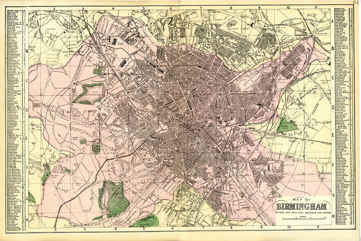
Maps for cities and towns are very useful for social, house and family historians because of the important information that can be gleaned from them. The transportation links, whether they be roads, railways, rivers, canals or sea ports, can give us an insight as to where our ancestors may have come from or gone on to, as changes occurred in their lives creating a need for them to move to a new location. These maps can help solve problems surrounding road and street names that may have changed over time and show us where our past family had lived in relation to today’s landscape.
Collections of plans, maps and atlases are available at family, house and social history societies, city archives, county record offices, and public and university libraries – see our page on map collections. A useful resource for town/city mapping is the Historic Towns Trust.